
Archaeologist uncovers ancient footpath, Medieval river crossing and transportation quay for poo

“The river itself would have also been a destination in its own right - the superhighway of its day”
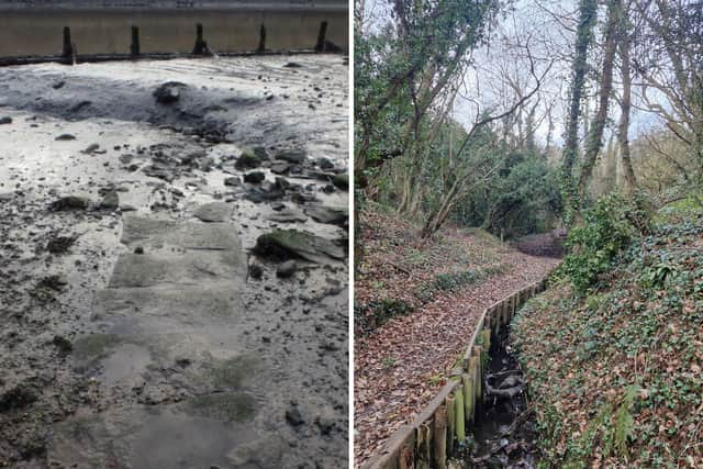
Sunderland archaeologist Jon Welsh believes he has discovered a medieval footpath, known as a holloway which runs from Hylton Castle to the River Wear at North Hylton where it meets with a river crossing from the same period.

Jon is a qualified archaeologist and the founder of archaeology and built heritage consultant company Green Man Archaeology.
He said: “We believe the path down to Baron’s Quay from Wessington Way is a medieval holloway.
“A holloway or hollow way is a road or track that has been carved deeper than the surrounding ground by constant use and erosion over hundreds or thousands of years.
“The holloway leading down to Baron’s Quay lines up with and forms part of a route leading to Hylton Castle, 1.18km away via Barons Quay Road (formerly Lane), Hylton Castle Road, and Craigavon Road.”
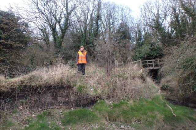
The site has also been inspected by Jim Leary, a senior lecturer in archaeology at the University of York and an expert in ancient holloways.

Jim said: “Jon and his team are almost certainly correct about the feature being a holloway - that is a path worn into a deep groove by the passage of feet, hooves, and wheels.
“Its shape and form are the main indicators, but the presence of apple trees along its route is another significant clue.
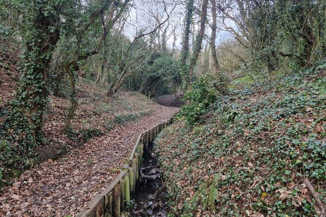
“Apple trees often line ancient paths - largely the result of people tossing cores to one side or spitting and defecating pips while travelling.
“The same applies to hazelnuts, blackberries, and similar plants. They almost certainly suggest it was once a path.”
Where the path meets with the river at low tide, Jon has uncovered what looks like blocks of stone forming a crossing point.
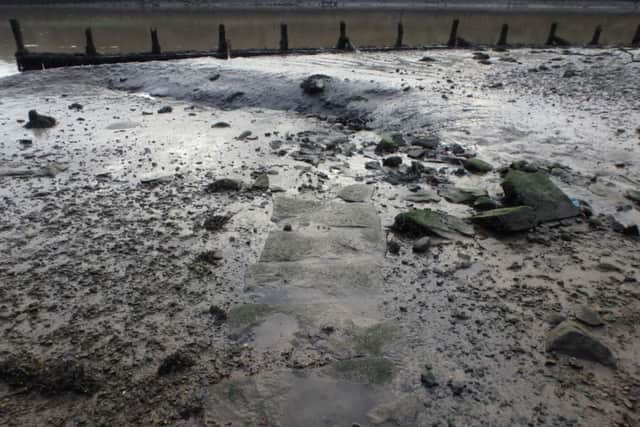
Jon said: “At low tide, you can walk across the river and this would have been used as crossing point for people, particularly those driving their animals such as cattle.”
Jim added: “It seems likely that the holloway led to a ford, and therefore a crossing point in the river. The river itself would have also been a destination in its own right - the superhighway of its day, linking to a network of other waterways.
“As now, rivers and routes like these were the arteries that kept trade and the movement of people flowing in medieval and earlier Britain.”
In keeping with the River Wear being the trading hub for people at the time is the remains of a quay where boats could dock.
Jon said: “Although it could be used as a ford at low tide, at high tide Baron’s Quay became an actual quay at the bottom of the holloway where boats could be loaded and unloaded.
“It actually became known as manure quay, where boats were loaded with human waste to be transported out to sea.”