
Your hour by hour weather forecast as significant snowfall hits Tyne & Wear

Significant snowfall overnight has seen Tyne & Wear turned into a winter wonderland.
Sunderland, Newcastle and South Shields have all woken up to blanket of snow.
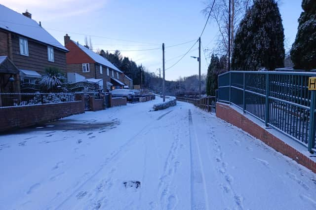

Whilst it may look pleasing on the eye, the wintry conditions are causing disruption to morning commuters and with a weather warning in place for snow and ice until 11.59pm today (Thursday) will we see more snowfall across the course of the day?
Check out the Met Office’s hour-by-hour forecast for Tyne and Wear for today (November 20) and tomorrow (November 21).
Whilst a weather warning for snow and ice remains in place for the rest of today, the Met Office is currently forecasting a 60% chance of sleet showers between 11am and 1pm. Between 2pm and 10pm this is forecast to change to rain, with a percentage chance of around 90%.
Sleet is then forecast to return at 11pm and midnight which will be followed by a cold and clear night with temperatures forecast to fall to minus one degrees Celsius.
Tomorrow (Friday) is forecast to be a cold and sunny day with less than a five percent chance of any rain, sleet or snow.
The temperature is forecast to rise to just three degrees Celsius, falling to an overnight low of one degree Celsius.
This is the Met Office forecast at the time of writing and is obviously subject to change.