Met Office extends Yellow Weather Warning for Sunderland for ice with potential snow and hail showers
and live on Freeview channel 276
This time last week and across the weekend, Spring had very much sprung as Wearside basked in clear, sunny and warm conditions with temperatures peaking at around 17 degrees Celsius - way above the March average.
However, with winds now swinging round to the north, it’s a return to winter with temperatures set to rise to a chilly five degrees Celsius – a drop of a whopping 12 degrees.
Advertisement
Hide AdAdvertisement
Hide AdThe windchill is forecast to make conditions this afternoon and evening feel more like sub-zero.
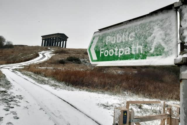
The dramatic drop in temperature has seen the Met Office issue another overnight weather warning for ice which will be in place from 9pm until 10am tomorrow (April 1) morning.

A statement on their website said: “Snow and hail showers could lead to icy surfaces, with possible travel disruption. There will probably some icy patches on some untreated roads, pavements and cycle paths, leading to an increased chance of accidents or injuries.
"Some higher elevation roads may be also affected by snowfall, resulting in longer journey times.”

Advertisement
Hide AdAdvertisement
Hide AdThe forecast for Sunderland will see showers and prolonged spells of rain – which may turn wintry – throughout the majority of the afternoon with snow and sleet showers forecast for the early hours of Friday morning.
There will be a predominantly northerly wind which will gust in excess of 25mph.
A message from the editor:
Support your Echo and become a subscriber today.
Enjoy unlimited access to all of our news and sport, see fewer ads, experience faster load times, test your brain with daily puzzles and get access to exclusive newsletters.
Comment Guidelines
National World encourages reader discussion on our stories. User feedback, insights and back-and-forth exchanges add a rich layer of context to reporting. Please review our Community Guidelines before commenting.