
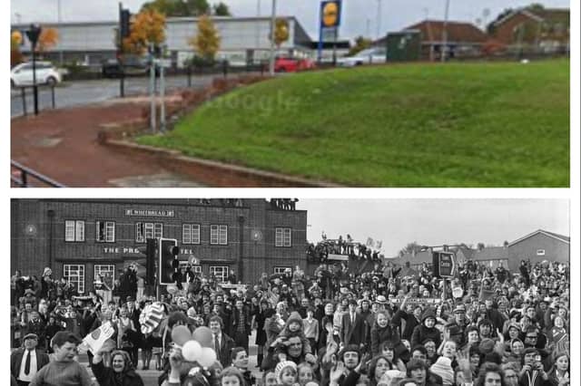

Excitement is mounting as European football gets ready to return to Wearside.
But we wondered how much Sunderland has changed since 1973 - the last time we hosted foreign competition.
All of these Sunderland Echo archive photos show the streets of the town as it looked 53 years ago, and then again as they looked in up-to-date Google Maps views.
We have views of Vine Place, Durham Road, Newcastle Road, Waterloo Place and North Bridge Street.
Have a look and see if these scenes bring back memories for you as we count down to Europa League action on Wearside.
And if you have memories of life in Sunderland in the 1970s that you would like to share, tell us more by emailing [email protected]
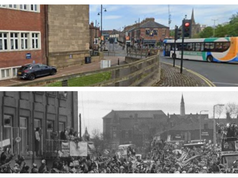
5. Durham Road
Look at the turnout of fans as the parade went past in 1973, and the same scene from Google Maps in May 2024. | se/Google Maps
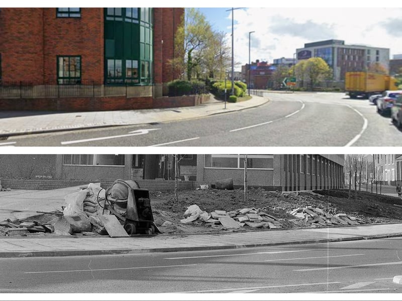
6. Livingstone Road
Livingstone Road as it looked in two separate scenes 53 years apart, thanks to the Sunderland Echo archives and Google Maps. | se/Google Maps
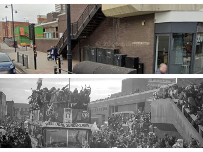
7. Waterloo Place
The road leading into Waterloo Place where crowds turned out in their hundreds in 1973. Here it is again in May 2024 thanks to Google Maps | se/Google Maps
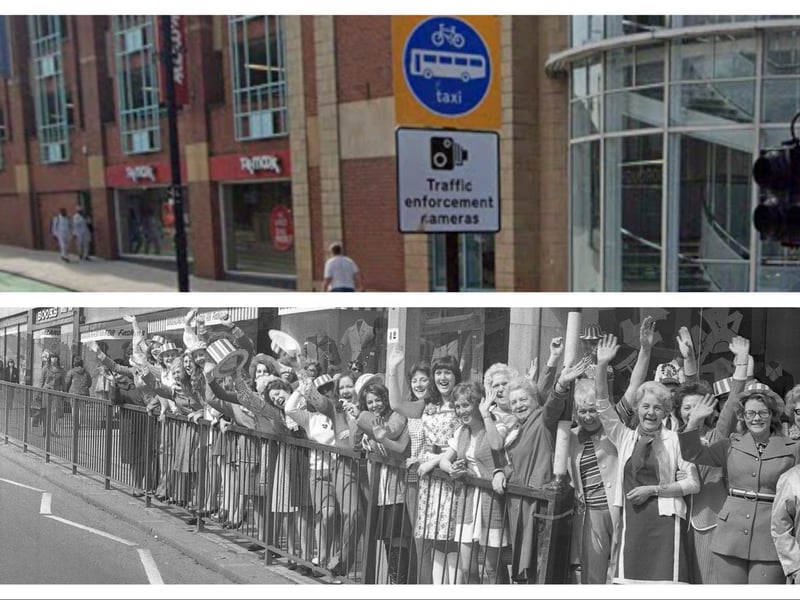
8. Vine Place
Books Fashions was a much-loved Sunderland shop and here are the staff practising their waves for the forthcoming FA Cup parade in 1973. The Google Maps view shows the same spot in May 2024. | se/Google Maps