
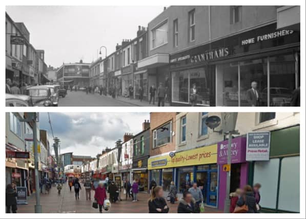

But we want to know if you think these 9 city streets look better now or when these Sunderland Echo archive images were taken.
There are views of famous thoroughfares such as Blandford Street, Toward Road, Olive Street and John Street.
Thanks to Google Maps, we can compare them more recently to how they looked in decades gone by.
Tell us which you prefer.
In case you missed it;
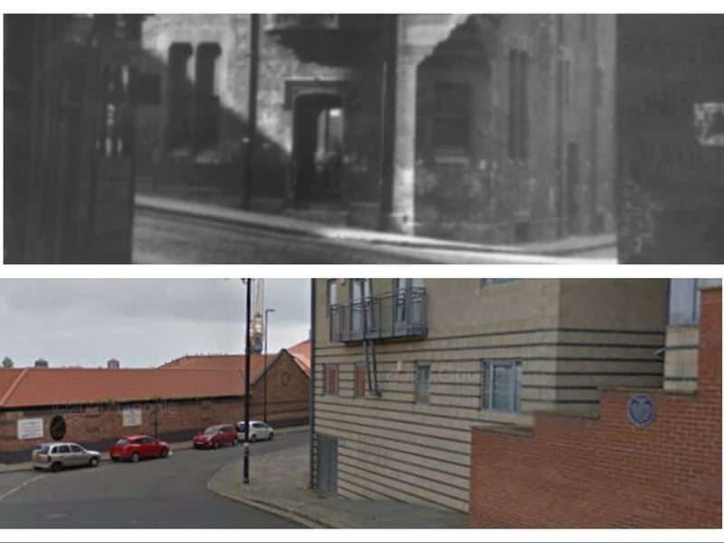
5. Bodlewell Lane
One of Sunderland's oldest streets pictured in 1953 in a Sunderland Echo view, and again on Google Maps in 2014. | se/Google Maps
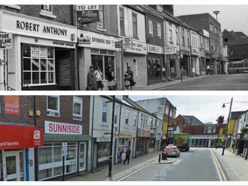
6. Olive Street
Spinning Disk and Robert Anthony are seen in this Sunderland Echo view of Olive Street in 1979. Underneath it is the same view on Google Maps in 2009. | se/Google Maps
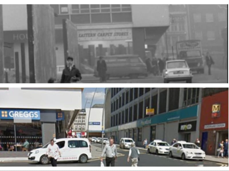
7. Union Street
Boarding was going up in Sunderland town centre when this 1966 photo was taken just before the World Cup came to Wearside. The Google Maps view comes from 2018. | se/Google Maps
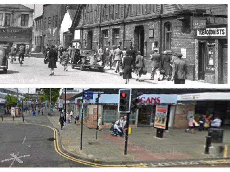
8. Waterloo Place
An old glimpse at Waterloo Place and its local shops compared to the Google Maps image from 2009. | se/Google Maps