
Weather forecast: Met Office update predicts when North East will see snow again this winter

The Met Office has issued a new update for when snow will next hit the North East.
The start of 2026 has been a cold one for most of us, although mid-January has seen an upturn in temperatures.
Storm Goretti also brought wintry weather to the western side of the country, but now more of the white stuff is expected.
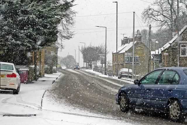

Much of these predictions are for later in the month, with the Met Office telling local residents to prepare for “wintry hazards.”
The medium range forecast from the Met Office runs from Sunday, January 18 to Tuesday, January 27 and says: “Longer, drier interludes are most likely in the east and northeast, though potentially rather cloudy at times.
“A gradual trend towards colder conditions is most likely through this period, especially in the south and east. As such, whilst wintry precipitation will be more reserved for hills initially, this may become more likely to lower levels later in the period.”
Moving into the longer range forecast, which continues until Wednesday, February 11, adds: “Initially, slowly evolving weather patterns are most likely in the vicinity of the UK, with low pressure typically to the west or southwest and high pressure to the northeast.
“This configuration brings an increased chance of cold conditions affecting parts of the UK, and the associated risk of wintry hazards at times. Deeper into February, and whilst confidence is naturally rather low, there may be a transition to more widely unsettled conditions and perhaps a corresponding recovery in temperature back closer to average.”