Sunderland Easter holidays weather: Full forecast for the first week, according to the Met Office
and live on Freeview channel 276
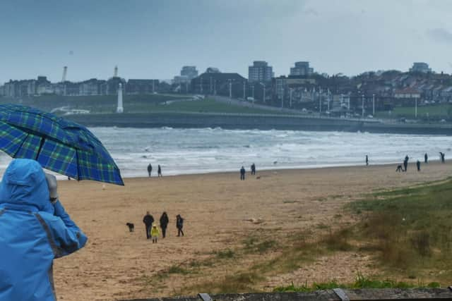
The Easter break is a time for families to get out and enjoy the arrival of spring, but what does the all important weather have in store for Sunderland for the first week of the school holidays?
If you're planning on going to the beach, park or even firing up the barbecue, it's good to know whether you need to get out the factor 30 or your waterproofs and wellies.
Advertisement
Hide AdAdvertisement
Hide AdAfter a mixed Bank Holiday weekend, the unsettled start to spring looks set to continue.

Check out the weather forecast for Sunderland for the week ahead according to the Met Office.
Today (Tuesday) looks set to be a cloudy and cool day with a 10% to 20% risk of rain throughout the day. Thick cloud will persist throughout the day and temperatures will peak at just 9 degrees Celsius. There will be light Easterly winds.
Wednesday looks like being a wet and blustery day with a 90% chance of heavy rain between 6am and 3pm, reducing to 80% at 4pm. There will then be a 50% to 60% probability of light rain between 5pm and 9pm. It will be another cool day with temperatures reaching a high of 8 degrees Celsius. Easterly winds will gust in excess of 30mph throughout the morning and afternoon, making temperatures feel more like 3 or 4 degrees Celsius.
Advertisement
Hide AdAdvertisement
Hide AdThursday looks set to be cool and cloudy day with the a 10% to 20% chance of rain which increases to 40% from 10pm. Once again temperatures will only rise to 9 degrees Celsius, feeling more like 6 degrees Celsius in the cool North Easterly winds.
Friday is currently forecast to be a blustery day of sunshine and showers. Heavy overnight and early morning rain should give way to spells of sunshine with a 40% to 60% chance of light rain showers from 10am to 6pm. It will be a warmer day with mid-afternoon temperatures set to rise to 14 degrees Celsius. It will once again be a blustery day with afternoon winds gusting up to 34mph.
After heavy early morning rain, Saturday is set to be a day of sunshine and showers, with the probability of rain throughout the day varying between 30% and 40%. It will be a windy day, with strong South Westerly winds gusting at up to 41mph throughout the afternoon. Temperatures will reach a mid-afternoon high of 15 degrees Celsius.
Sunday looks set to be a sunnier day, although there is currently a 40% chance of light rain showers at 1pm. This reduces to between 5% and 10% later in the afternoon and evening. Temperatures will rise to 13 degrees Celsius, although it will feel colder as strong South Westerly winds gust up to 45mph in the afternoon.
This is the current forecast from the Met Office which will obviously be subject to change as the week develops.
Comment Guidelines
National World encourages reader discussion on our stories. User feedback, insights and back-and-forth exchanges add a rich layer of context to reporting. Please review our Community Guidelines before commenting.