
Here's when snow is forecast to hit Tyne & Wear as Met Office issues weather warning

A weather warning for snow and ice has been issued for the North East with snow forecast on Friday (February 13) for Sunderland, Newcastle and South Shields.
The Met Office are currently forecasting snow showers starting in the early hours of Friday morning and continuing until 7pm that night.
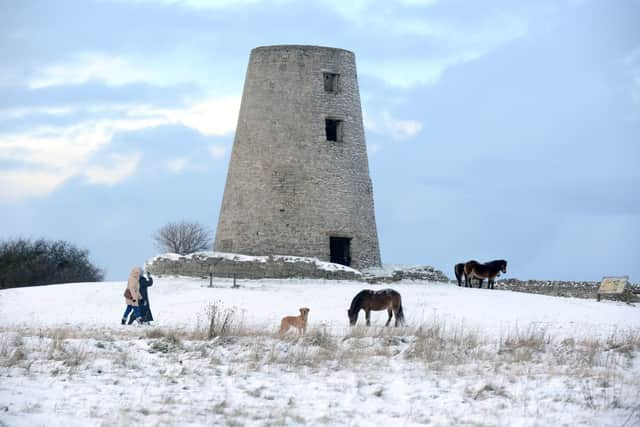

The percentage chance of snowfall throughout the course of the day varies between 60% and 70%.
The Met Office has also issued a Yellow Weather warning for snow and ice for the North East which starts on Thursday 7pm and is in place until midday on Friday.
The only parts of the region not under this weather warning are coastal areas, although snow is still in the forecast.
A Met Office spokesperson said: “Outbreaks of rain, sleet and snow likely to lead to icy surfaces and some travel disruption.
“Outbreaks of rain will fall as snow over higher hills initially, before the snow starts to fall to lower levels through Thursday evening.
“Any settling snow will mainly be confined to high ground, above 200 metres and two to five centimetres is possible.
“Above 300 metres, a few locations may see as much as 10 cm.
“The rain and snow is expected to clear south during the early hours of Friday with temperatures expected to fall quickly as skies clear, leading to ice on untreated surfaces.”
Increased risk of injuries from slips and falls, and travel disruption are expected.