
This is when we'll next see rainfall in the North East - according to MET Office experts
We’ve enjoyed weeks of fine weather - the driest in the North East since 1929 - but it could all be about to change.
The Bank Holiday weekend sees a marked change in weather type, with many areas seeing rain or showers and more unsettled conditions, which remain into next week.
In the North East, tonight is expected to be sunny, then dry and mostly clear overnight with winds falling light. It will becoming chilly by morning with some inland frost patches developing. Minimum temperature 2 °C.
It will be fine again tomorrow, with widely sunny skies following a chilly start. It will become warm inland but developing sea breezes will keep eastern areas cooler during the afternoon. Maximum temperature 18 °C.
From Saturday to Monday, the weather will be changeable with showers or spells of rain for all, although some drier, brighter interludes are still expected, with some stronger winds expected on Sunday.
From Tuesday, changeable conditions are expected across the UK as Atlantic frontal systems spread in from the west, at times bringing showers or longer periods of rain to many areas. Some heavy rain is possible, as are strong winds. In between weather systems, some dry interludes are likely with periods of sunshine. Temperatures are expected to be slightly above average overall, but will be cooler in any prolonged periods of rainfall.
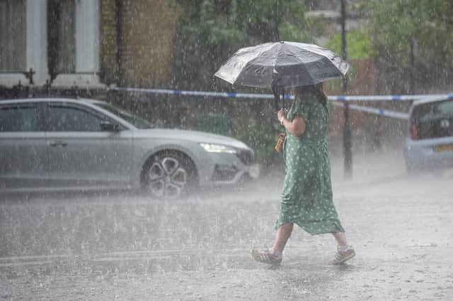

Deputy Chief meteorologist David Oliver said: “We’ll see a change in conditions this weekend as weather systems move in from the Atlantic. These will bring rain and windier conditions from the west later Friday, which will spread across the whole of the UK on Saturday. Some heavy rain is expected, especially in the northwest later on Saturday when winds will also strengthen, bringing a risk of coastal gales in the north.
“These strong winds will continue on Sunday as an area of low pressure passes the northwest of the UK. Blustery showers are expected on Sunday, which will be heaviest and most frequent in the northwest. Conversely, the south and southeast may well see a good deal of dry weather.
“Wind will be a watchpoint for Sunday, especially across Scotland where there is some uncertainty on the exact track of the low and its associated wind speeds, so keep up-to-date with the forecast as it evolves over the coming days.”