
Brace yourselves as the first snow of the season could be on the way!
‘The polar vortex in the stratosphere is starting to weaken’
Huddle up warm - because the first snow of the season could be on its way to Sunderland!
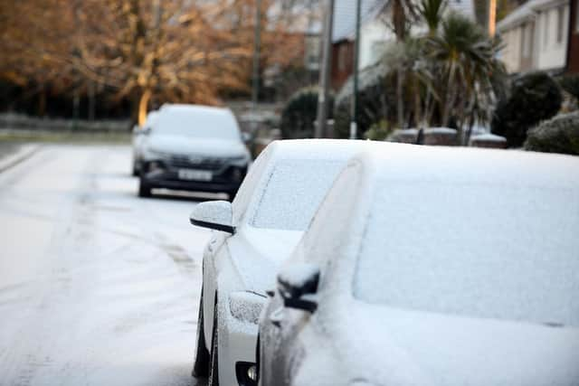

Weather experts have predicted a 20 percent chance of snow coming to Wearside tomorrow and for parts of Thursday.
And while warmer conditions are on the way later, there’s a chance that we could see more showers later into November.
The area can expect rainfall for much of tomorrow morning before temperatures fall into the afternoon and snowfall becomes more likely at around 3pm.
A similar pattern is expected for Thursday with a 20 percent chance of snow at around 4pm.
The colder conditions could continue as we head further into the month.
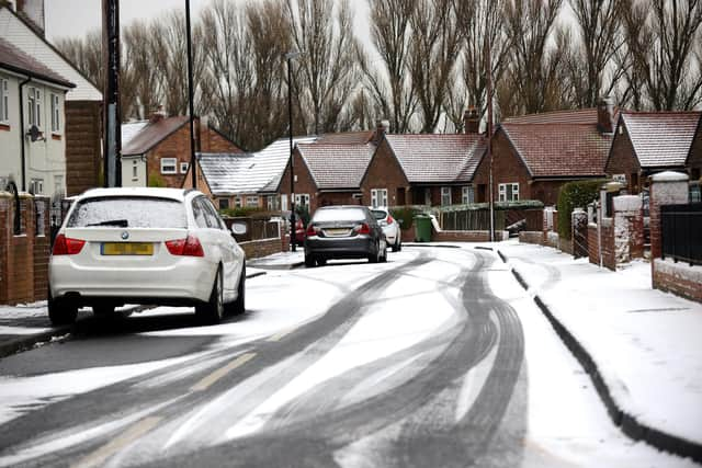
While confidence in the predictions is low for now, there is also snow being suggested for later this month and early December.
Atlantic frontal systems could bring rain, strong winds and possibly snow in the north with brighter, more showery spells also likely.
The weather warning came amid predictions Britons could be hit by colder temperatures later this month as a weakening polar vortex threatens to bring Arctic air.
The polar vortex is a ring of powerful winds that helps keep freezing air near the North Pole. If it weakens, it could allow colder Arctic air to sweep south towards Britain, increasing the risk of wintry weather.
Met Office forecaster Marco Petagna said: “At the moment, we’ve got a warming taking place in the stratosphere.
“The polar vortex in the stratosphere is starting to weaken.”
The Met Office will monitor the polar vortex over the next few weeks to see whether the disruption could bring colder conditions to Britain.