Plan to fix 'dangerous' sinkholes approved by Sunderland City Council - public footpath expected to be diverted while work takes place
and live on Freeview channel 276
This week, Sunderland City Council’s Planning and Highways Committee were asked to consider an application for land south of Low Haining Farm in the Copt Hill ward.
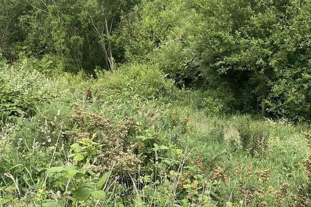
The agricultural land lies within the extent of the Tyne and Wear Green Belt and is used by the applicant for grazing and haymaking for sheep, cattle and horses.
Advertisement
Hide AdAdvertisement
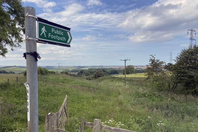
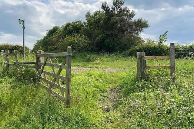
Hide AdA public right of way also crosses the site, running south / north across the land.

Back in August 2021, a planning application was lodged with council planners for “agricultural land improvement and remediation of sinkholes”.
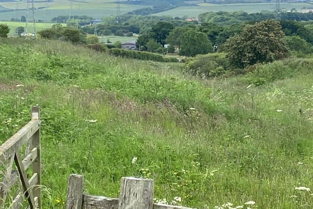
According to a report presented to councillors at a meeting on June 13, 2022, the land has two “prominent sinkholes” located towards the west with a depth of around six metres or potentially more.
It is understood that the sinkholes have formed as a result of removal of the underlying soluble magnesian limestone by rainfall over a period of years.
Advertisement
Hide AdAdvertisement
Hide AdAlthough the sinkholes have previously been filled to restore agricultural land, they are subject to “blow outs” in wet weather when water pressure builds below.
According to the planning report, the applicant’s agent confirmed the sinkholes “represent a danger to farm stock and pedestrians utilising the public right of way which crosses the site”.
On a site visit as part of the planning process, council officers noted that large straw bales had been placed into two of the sink holes for safety reasons.
New plans include fixing the sinkhole issue, regrading land and other land improvements, which involves importing nearly 33,000 tonnes of soil materials sourced from development sites across the North East.
Advertisement
Hide AdAdvertisement
Hide AdWorks would include excavating the area around the sinkholes down to a solid rock base and then backfilling with imported material, as well as wider agricultural land improvement works across the site.
The overall aim of the scheme is to provide “productive and safe land for grazing and haymaking” while also “removing dangerous features adjacent to the public footpath”.
To facilitate the works, the existing access from the public highway at Stoneygate Lane is proposed to be temporarily widened to accommodate two-way traffic movements.
A temporary access track would also be provided to accommodate internal vehicular movements.
Advertisement
Hide AdAdvertisement
Hide AdFollowing a presentation from planning officers at City Hall this week, Sunderland City Council’s Planning and Highways Committee gave the green light to the scheme.
A report prepared by council planning officers, recommending the plans for approval, said: “The proposed works will ensure that the land is reprofiled to provide productive and safe land for grazing and haymaking whilst removing dangerous features adjacent to the public footpath.
“Through the report, it is set out that the land remediation and restoration works are compliant with regard to Green Belt Policy without causing detriment to the amenity of the area, whilst matters pertaining to, ecology, highways, ground conditions and drainage are considered to be acceptable.”
The public footpath crossing the site is expected to be temporarily diverted during the works and restored to the same alignment once the project is completed.
Advertisement
Hide AdAdvertisement
Hide AdApproved on-site working hours associated with the development will be 8am-6pm, Monday to Friday, 9am-2pm on Saturday and no working on Sundays.