
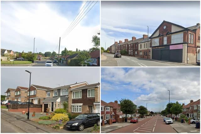

One of its results is a measure of household deprivation. By comparing the scores from the 2011 census with those from the 2021 census, we can see which neighbourhoods are less deprived than they were before.
There are lots of possible ways to measure household deprivation, and the method used by the Office for National Statistics doesn’t take income into account.
Instead, it looks at four different measures: unemployment, low qualification levels, poor health and bad housing.
Across England and Wales as a whole, more than half of households (52%) were deprived in at least one of these four possible ways when the census took place in 2021 - that’s 12.8 million households.
But this is a fall from the decade before, when the figure was 58%.
The census also divides England and Wales into more than 7,000 smaller areas of between 5,000 and 15,000 residents, called middle-layer super output areas.
For each of these areas, it publishes how many households were deprived in at least one of its four measures.
Here are the areas of Sunderland where the proportion of deprived households fell the most between 2011 and 2021.
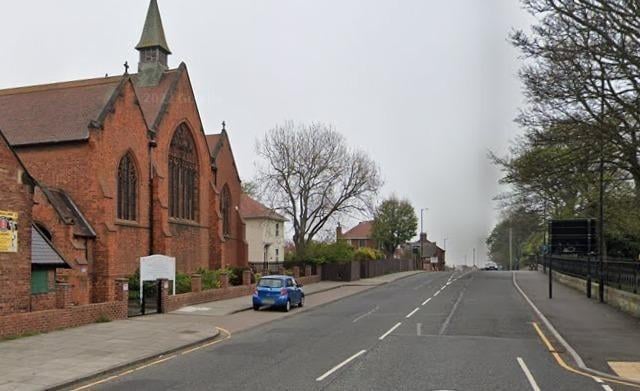
13. Grangetown
In the Grangetown area, 40.8% of households were not deprived in 2021, an improvement on 2011 when the figure was 34.3% Photo: Google Maps
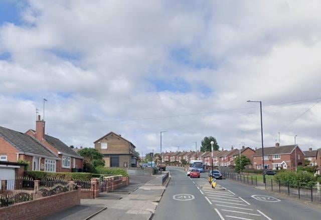
14. Hylton Red House and Marley Pots
In the Hylton Red House and Marley Pots area, 32.5% of households were not deprived in 2021, an improvement on 2011 when the figure was 25.9% Photo: Google Maps
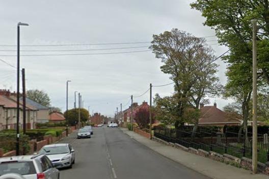
15. Ryhope
In the Ryhope area, 43.1% of households were not deprived in 2021, an improvement on 2011 when the figure was 36.9% Photo: Google Maps
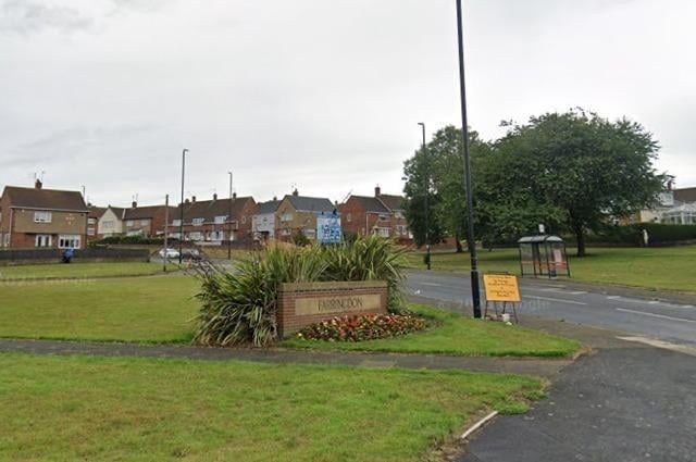
16. Lakeside Village and Farringdon
In the Lakeside Village and Farringdon area, 34.4% of households were not deprived in 2021, an improvement on 2011 when the figure was 28.3% Photo: Google Maps