What the weather has in store this week in the wake of Storm Callum


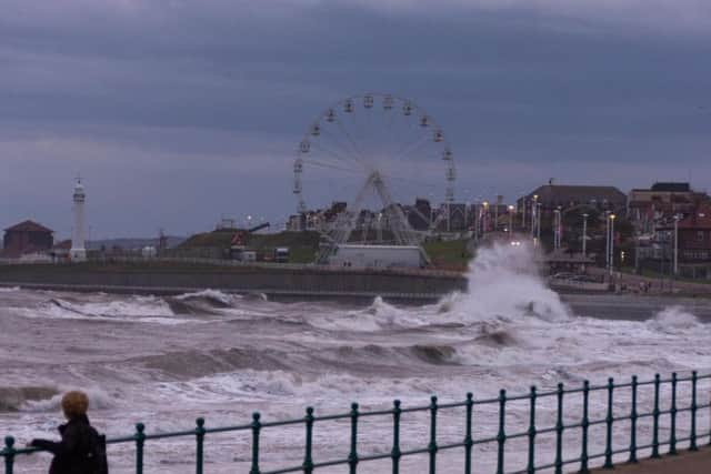
And even though the region escaped the worst of it, some people in more exposed places still had to contend with heavy rain and winds of more than 50mph.
But what's the week ahead got in store? Is there going to be more bad weather, or will it continue to be unseasonably warm?
Well, according to the Met Office it's neither.
Advertisement
Hide AdAdvertisement
Hide AdAfter temperatures approaching 20°C were recorded in parts oif the North east yesterday - though you wouldn't have thought it due to the wind - today's maximum is expected to be 12°C.
It will be a cold night, with clear skies and light winds bringing a risk of fog patches, along with a rural grass frost, as temperatures plunge to a minimum of 2°C.
Monday will see a cold start, with mist or fog gradually lifting. A dry day will follow, with light winds and some brighter spells developing.
However, it is likely to stay rather cloudy, especially near the coast, with temperatures reaching a maximum of 10°C.
Advertisement
Hide AdAdvertisement
Hide AdTuesday will see a cold start, with early fog clearing, and the day becoming cloudier and breezier, with rain later.
Sunny intervals and scattered showers are expected on Wednesday, and it will be dry and largely sunny on Thursday, though early fog patches are possible.